Can you imagine exploring Bogotá with a personalized guide right in your pocket? Now you can, thanks to Visit Bogotá's new interactive tourist maps — a digital tool designed to help you discover every corner of the capital in an easy, connected, and up-to-date way.
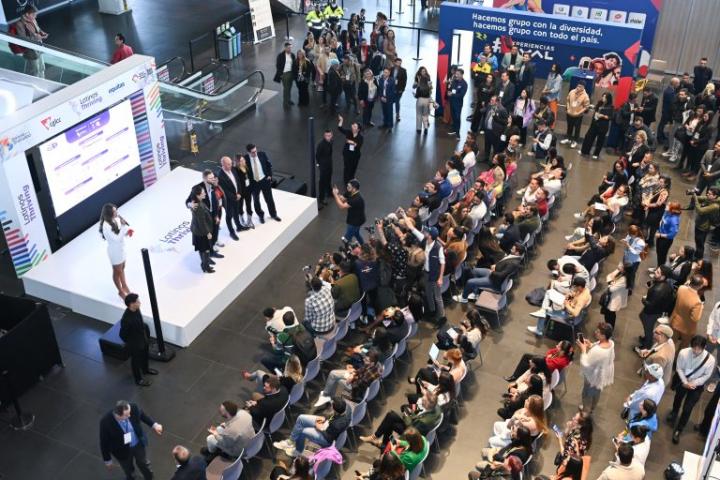
In the style of major world capitals, Bogotá, in collaboration with the mass transportation system Transmilenio, has launched innovative interactive maps. This digital tool allows visitors and residents to explore the city more efficiently, with enhanced connectivity and dynamism.
This platform —available in Bogotá, tu casa— — through the Visit Bogotá website and at Tourist Information Points (PIT) equipped with interactive kiosks strategically located throughout the city, allows residents, visitors, and tourists to orient themselves, find their chosen destination, and discover the easiest way to get there.
Developed entirely in the cloud, this digital experience offers four thematic maps: nearby restaurants, tourist attractions, recommended routes and events, and first-time visitor maps. With search and navigation functions, it’s designed to make your visit modern, seamless, and unforgettable.

¿What can you find in these maps?
- Tourist attractions: from museums and marketplaces to natural spaces and historical monuments.
- Nearby restaurants: options for all tastes and budgets.
- Recommended Routes: Enjoy safe and suggested walks to explore iconic neighborhoods or uncover hidden gems.
- Real-Time Events: Stay updated on concerts, fairs, exhibitions, and much more.
Each of these maps shows you what to do, how to get there, how long it takes, and what’s nearby. And thanks to integrated TransMilenio routes, planning your trip is as easy as checking the map on your phone or at one of the interactive pedestals around the city.
Each map is connected in real-time to the public transportation system and updated tourist information from the Visit Bogotá ecosystem. This technological backbone integrates the web portal, mobile app, virtual guide "Candelaria," and now, this new interactive tool.
Thanks to this integration, users can easily discover what to do, how to get there, and what to experience in every corner of the city. As the system detects the user’s location, the map displays nearby attractions and services—becoming a personalized guide from any point of navigation.
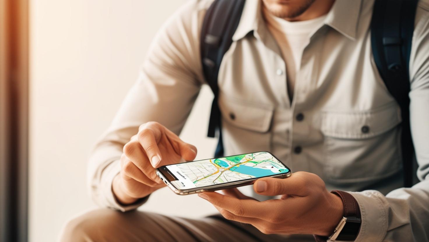
In addition, the system detects your location and shows you personalized recommendations from wherever you are. Are you in La Candelaria and don't know where to go after visiting the Gold Museum? The map suggests nearby places, how to get there, and what you can do there. It's like having a personal tour guide with you all the time.
Ready to explore Bogotá with just a click? Your next adventure begins here: https://lab.visitbogota.co/mapas-bogota/

